Biologging and Earth Observation
Wildlife monitoring in changing oceanic ecosystems
Wildlife monitoring in changing oceanic ecosystems
Our Mission
GIS for Wildlife develops software that integrates satellite biologging data with real-time Earth Observation layers — sea surface temperature, chlorophyll concentration — to reveal how marine species navigate a dynamic and increasingly threatened ocean environment.
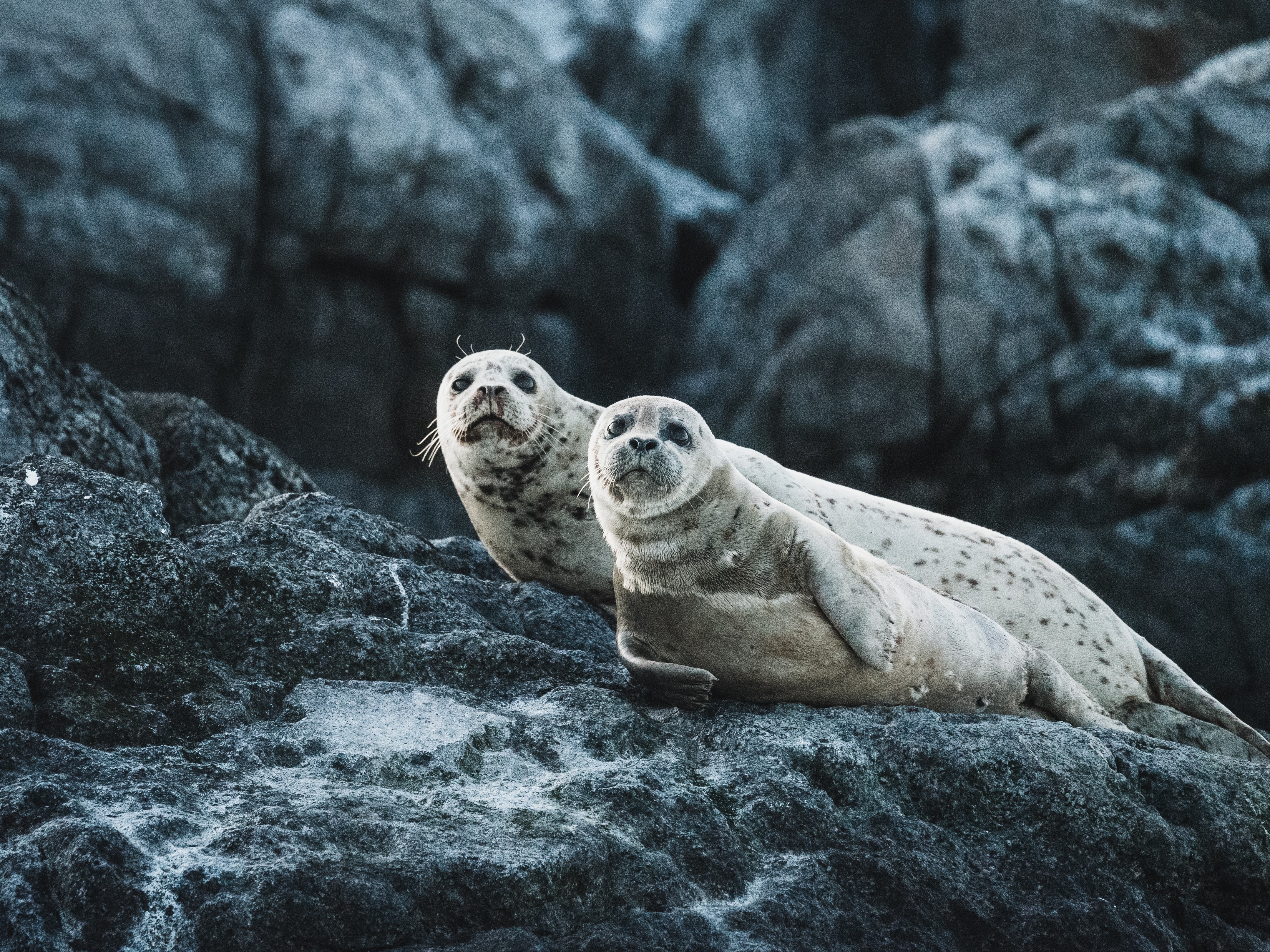
Marine fauna movement monitoring across diverse habitats
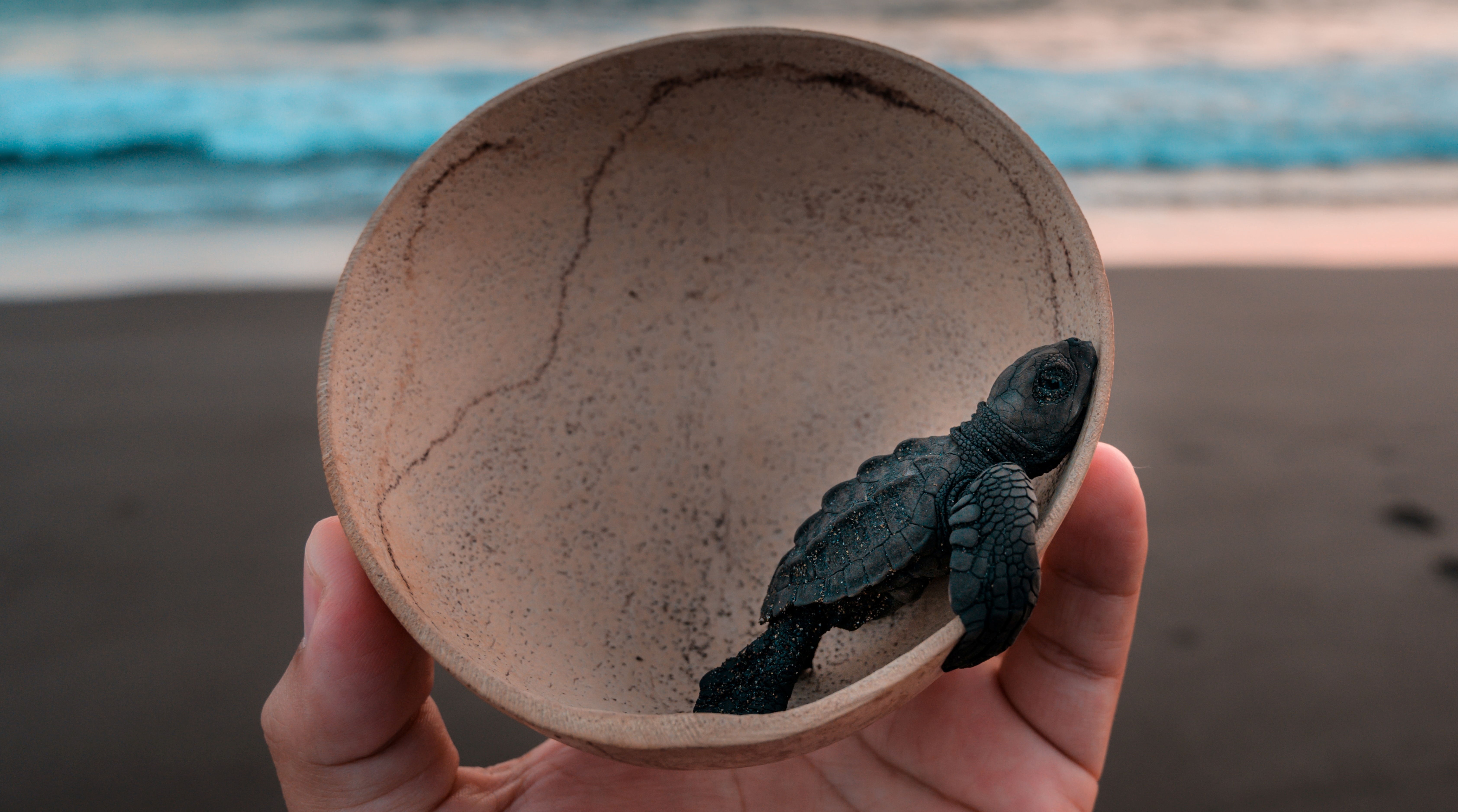
Conservation Science
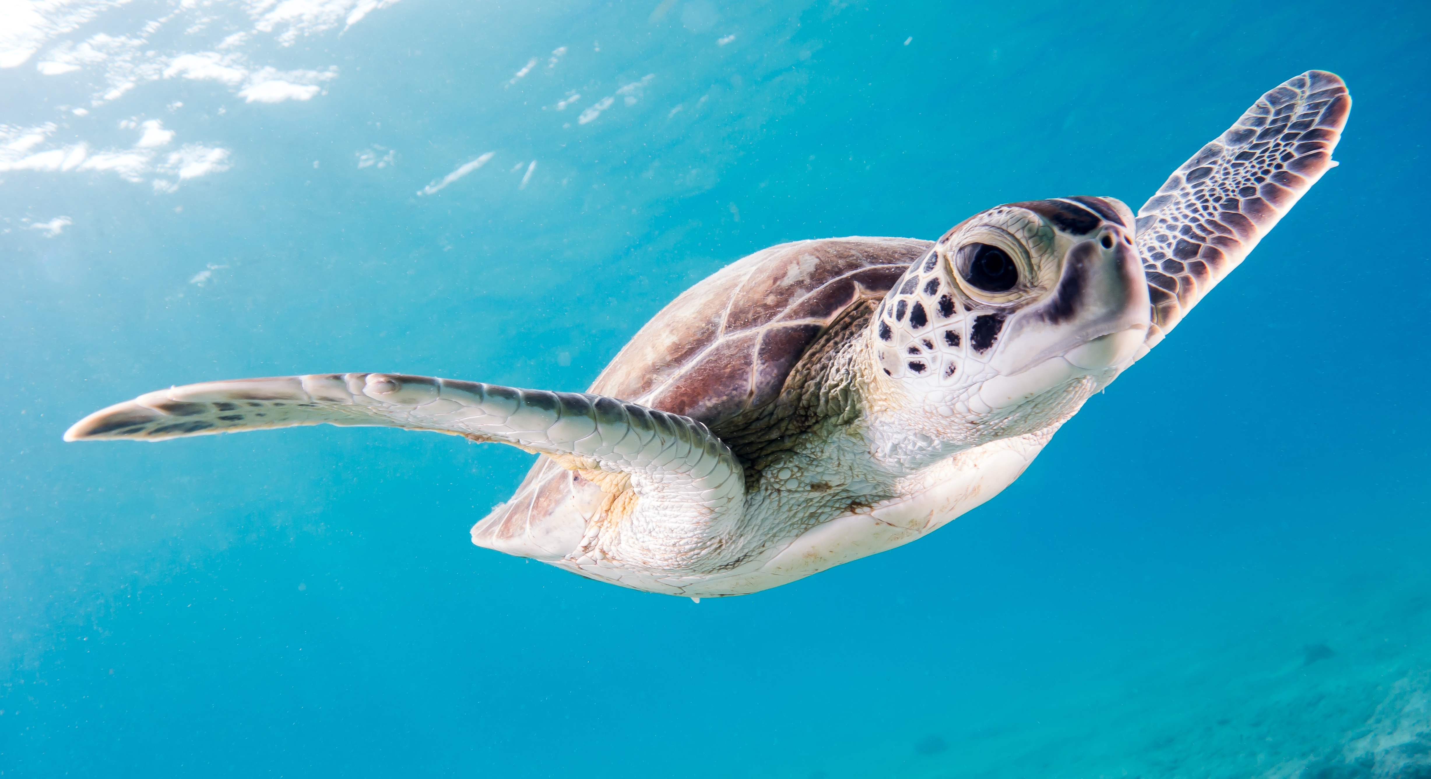
Species like sea turtles and whale sharks navigate across ocean basins using environmental cues such as temperature gradients, productivity hotspots, abd current systems. Our geospatial platform makes those invisible connections visible to scientists and conservationists.
Wildlife Tracker GEO
In collaboration with the Galápagos Whale Shark Project, Wildlife Tracker GEO was deployed to analyse the movement of satellite-tagged whale sharks across the Eastern Tropical Pacific, combining biologging data with ocean environmental layers.
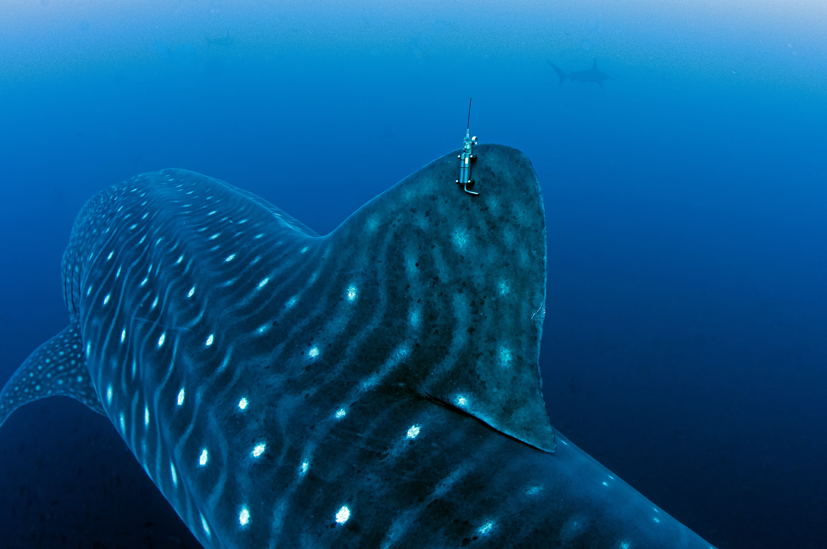
Satellite tag data merged with SST and Chlorophyll layers reveals how these giants respond to seasonal ocean shifts.
Explore the Data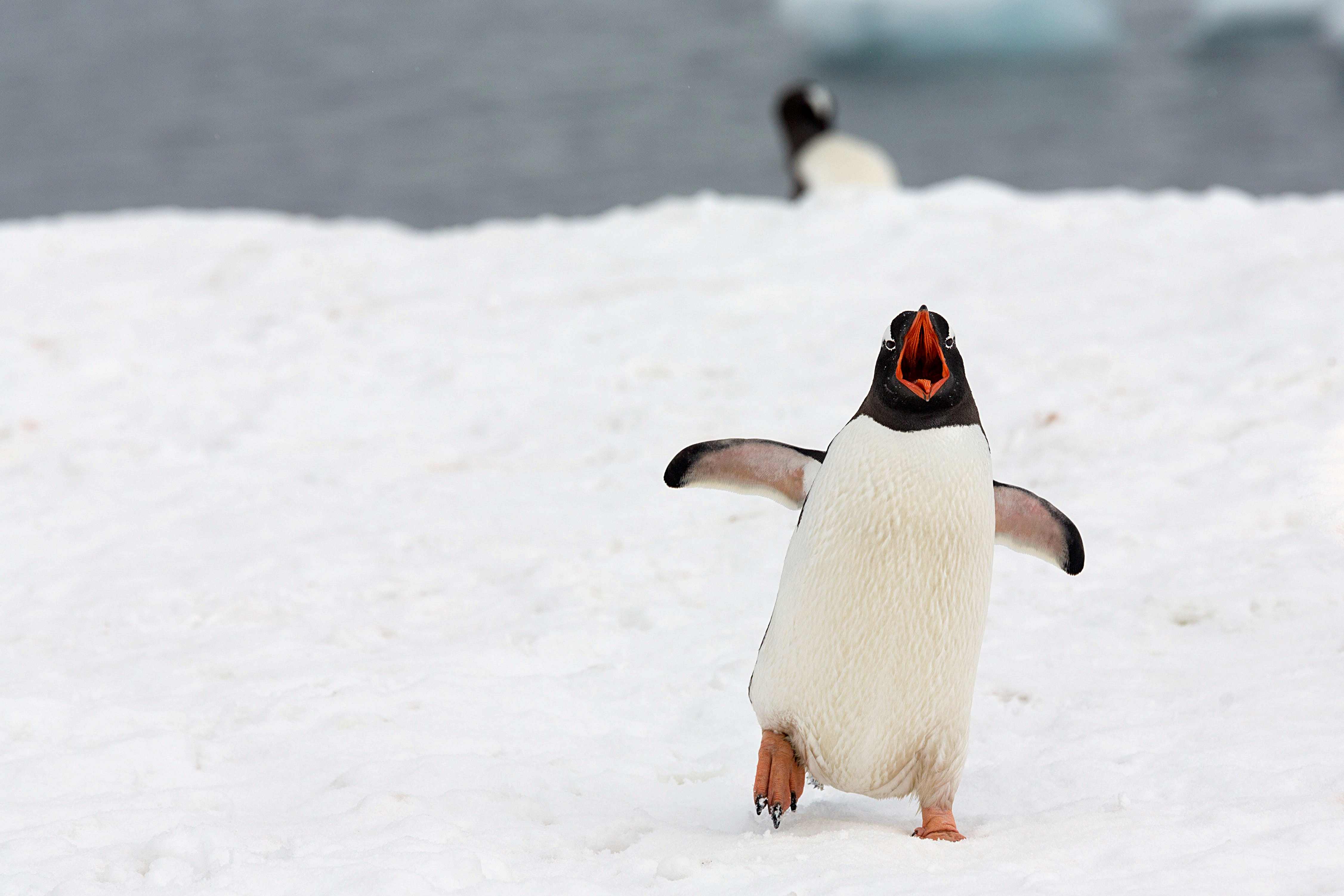
Global Reach
From Antarctic penguins to tropical elasmobranchs, Wildlife Tracker GEO integrates with Movebank's global database and Copernicus Marine Service to deliver species-agnostic movement analytics for researchers worldwide.